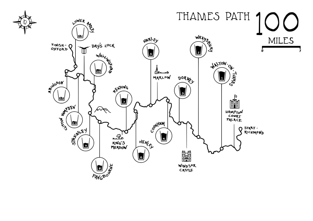
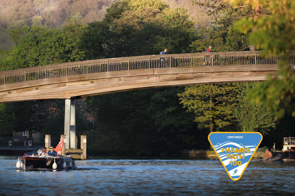
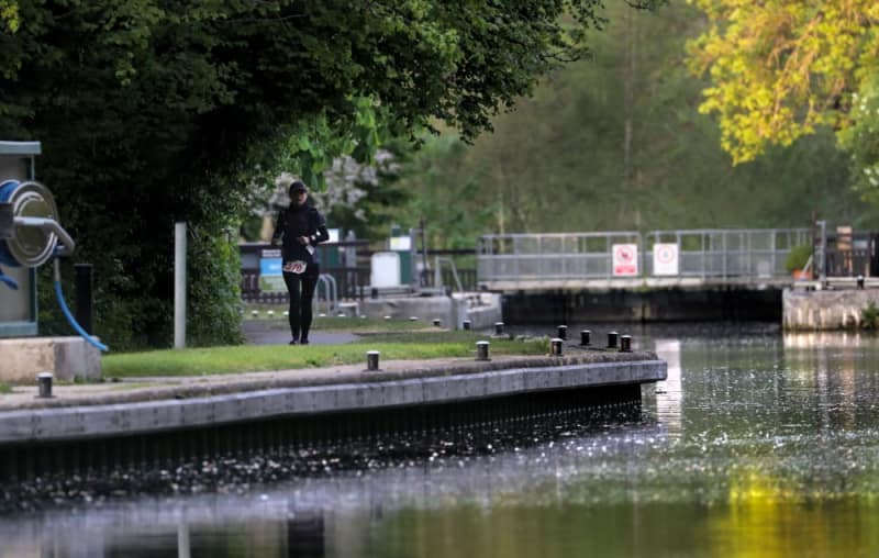
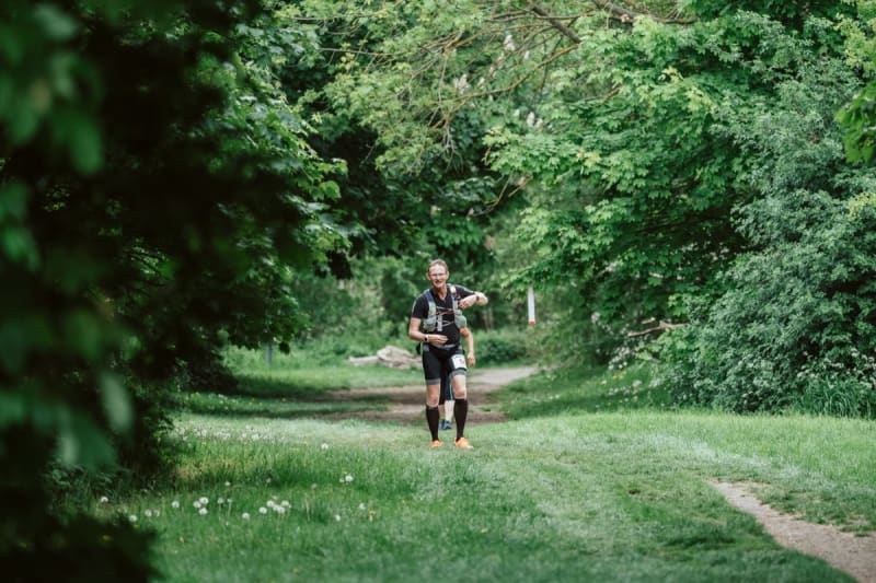
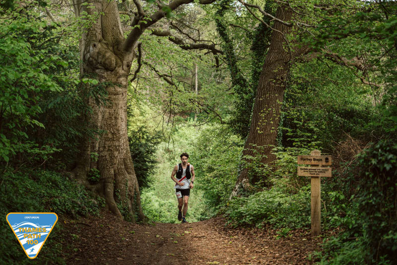
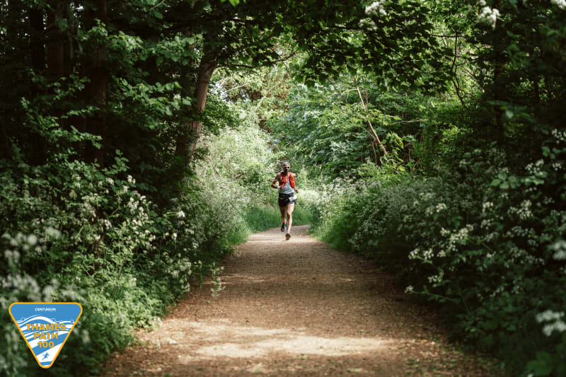
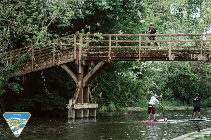
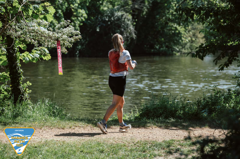
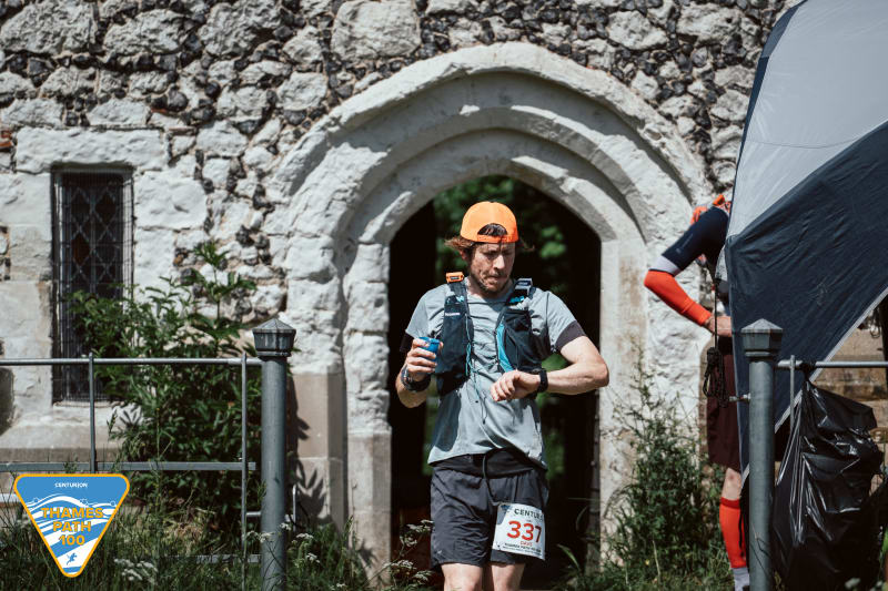
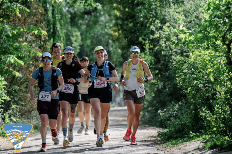
The 100 mile course is a marked point to point race which takes runners from Richmond in South West London to the centre of Oxford. The course follows the meandering route of the Thames against it's flow and is flat and fast with the majority on groomed paths/ trails and paved pathway. There are some truly stunning sections of the route showing off the best of English riverside scenery and life on the Thames. Held Under official UKA Permit granted through the Trail Running Association (Permit Number 5387).


Distance
100mi
161KMs
Elevation
1900ft
560m
Cut-off
28hours
Entry Fee
£215
Date
6 May 2023 09:00
Course Marked
YES
Medical Support
YES
No. of Starters
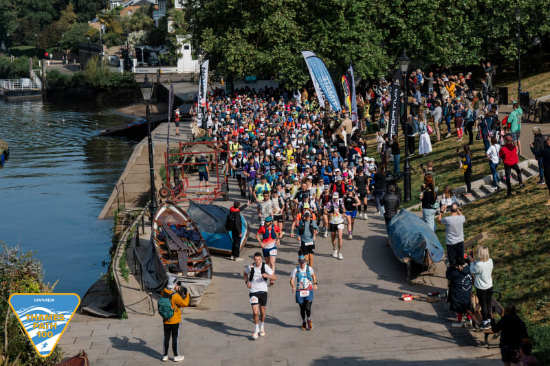
300
Avg Temp.
17C
62.6F
Avg Rainfall.
60mm
2inches
Avg Humidity
80%
# of Aid Stations
13
Location
EU / UK / ENGLAND / SOUTH-EAST
Terrain
25% Paved / 75% trail
Entries for the 2023 Event open on June 4th 2022 at 1000. Runners must meet the minimum qualification standard below, to apply. Volunteers from 2022 get priority free entry prior to general entries going on sale.
Entries are available on a first come first served basis. No waiting list will be held for this event and no entries will be taken on the day.
In order to enter you must have completed a minimum of a 50 mile distance race within 15hrs, between 1st January 2019 and race day. As organisers, we reserve the right to refuse anybody entry who does not meet this standard. Unqualified runners may enter but will be contacted approximately 8 weeks prior to race to verify qualification plans if they have not updated their online information by this time.
Click here to read more about what counts as a qualifier
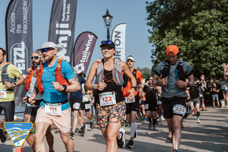
Race HQ is at Richmond Old Town Hall overlooking the river and a short walk from Richmond station. The race starts on Richmond New Waterfront, adjacent to the river and just a one minute walk from the Hall.
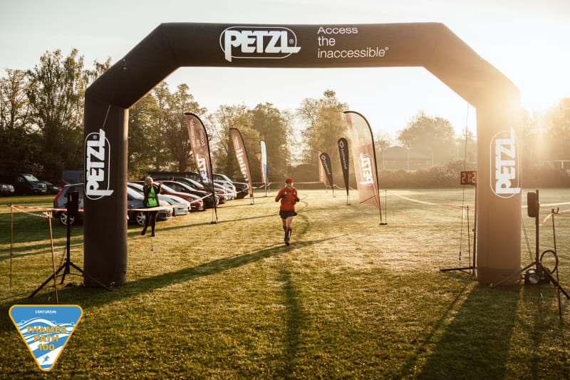
The finish location is Queen's College Recreation Ground just a few hundred yards from the city centre. Runners will turn left off of the Thames Path just before the Head of the River Pub which looms over the Thames Path from Oxford City Centre, and turn directly in to the finishing chute in front of the pavilion. We are very privileged to be allowed to finish in the grounds of Oxford University.
The 2023 race route remains on the Thames Path from the outset until the finish line with one minor deviation to Clifton Hampden aid station on route which will be clearly marked on race day.
A map of the route can be found at the bottom of this page.
Runners must finish within a 28 hour time limit. There are strict cut offs at every aid station on route, designed with the purpose of keeping runners on course to finish within the 28 hour limit.
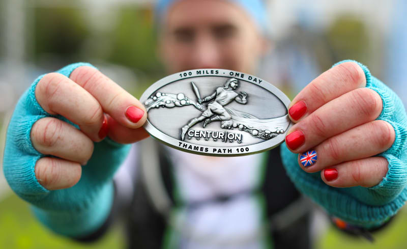
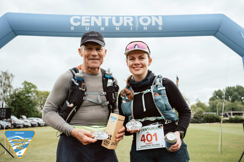
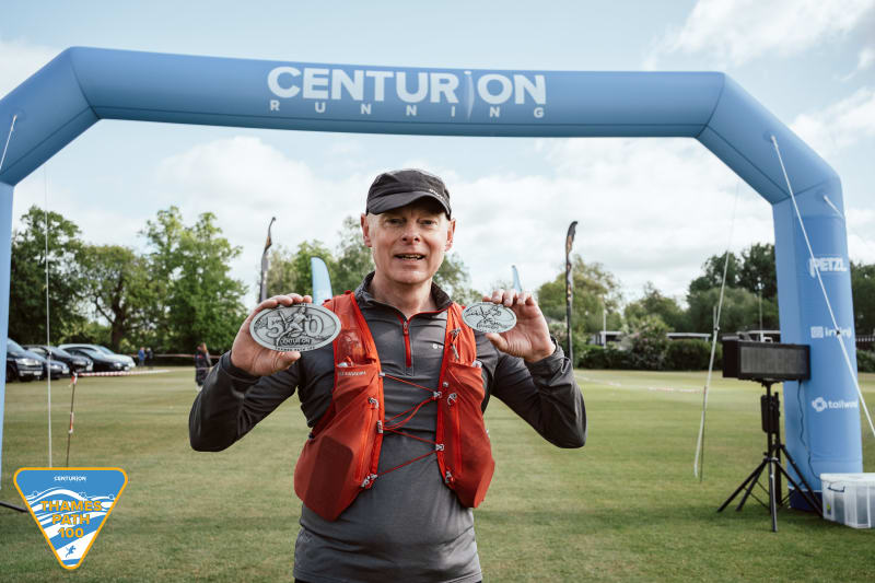
100 mile Centurion Buckle & Race Shirt to all finishers. Runners finishing the course in under 24 hours will receive '100 miles - One Day' buckles commemorating their achievement. Runners finishing between 24 and 28 hours will receive '100 mile - Finisher' buckles.
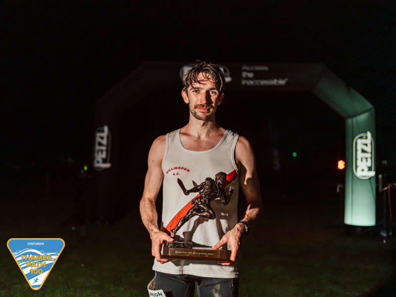
Trophies will be awarded to first place male and female. Further Prizes will be awarded to 2nd and 3rd Placed Male and Female. Age Group Prizes will be awarded for 1st Male and Female Vet 40, 50, 60 and 70.
Runners who finish 5 editions of this event will receive a 500 Mile Buckle. Runners who finish 10 editions of this event will receive a 1000 mile buckle.
There will be a minimum of 12 aid stations along the course. Aid stations carry as a minimum: water, a limited number of Gu Energy gels, Tailwind, Goke and other sweet and savoury snacks.
A full list of the aid station distances can be found here.
Drop Bags must be deposited at the race start between 0700 and 0845 on race morning. Drop bags must NOT exceed 45cm x 25cm x 25cm in size ie. the size of a large shoe box for any one aid station. They must be labelled with your name, aid station it is to go to and race number. Drop bags will be accessible at the following points and will be available for collection between 1000 and 1300 on Sunday, at the finish line. Drop bags must be collected by 1300, any left over at this time will be disposed of. Runners need to leave a different drop bag for each aid station, each bag will be transported to the aid station listed and then the finish. Finish line bags will be taken directly to the finish only.
Finish Line Bags can be deposited at registration and should be clearly labelled with runners name and bib number. These will be transported to the finish for you. Your finish line bag may be a maximum of 50 litres in size. NO suitcases will be permitted.
The course is marked by permanent national trail marker posts maintained by the National Trails Trust which come in different forms but most commonly display the acorn which is the key symbol and guide on the Thames Path.
In addition to the fixed markers as above, the course will also be marked with reflective red, white and silver tape and Centurion marker arrows. Some temporary orange chalk paint will also be visible on the ground at major junctions.
It is always possible that course markers may be removed or vandalised, in which case runners may well need to use the National Trail marker posts and maps as the guide. There are a number of road crossings to negotiate, some of them are extremely busy. The road crossings will NOT be marshalled so please be extremely careful when you are crossing roads of any nature.
It is ultimately the runners responsibility to navigate the course successfully, with or without course markings. We strongly recommend that you take the time to recce the route before race day & carrying a map and compass are highly recommended for the event in case of an emergency. The Harveys Thames Path map available at a discounted rate here, is an excellent guide.
100 mile runners are permitted pacers from the 51 mile aid station at Henley. Pacers must travel on foot only. Runners are permitted multiple pacers throughout the last 49 miles but only one may travel with the runner at any one time.
The points at which a runner may be paced/ hand over pacers are listed on the crew page here.
The points at which a runner may be crewed are listed on the crew page here. NOTE: crew are not permitted to tend to runners until Henley at Mile 51.
Crews/ Pacers/ Supporters are not be permitted meet their runner at any point other than those listed on the link above.
There will be a dedicated team of race medics available throughout the duration of the weekend. If you suffer an injury or accident that warrants direct medical attention, the medics will be on hand to provide you with exactly that. Contact numbers and full details of what to do in an emergency will be given to you in the pre race information packs and again at race registration. Due to the nature of the course ie. some off road, the medics may take some time to reach you, or potentially be out of contact tending to other runners. In those instances you should contact the emergency services on 999. If you are injured but able to walk, please make your way to the nearest aid station where there will either be a medic, or an aid station captain will immediately get in touch with medical care should you require it/ arrange for transport out. If you suffer a severe injury or encounter someone in serious difficulty please call both 999 for emergency ambulance services and the course medics. If you come across a fallen runner please remain with them until help arrives.
75% of the course is on trail. Trail shoes are advised but if it's dry, you will be able to complete the course perfectly adequately in road shoes which have good grip. There are sections of trail which can become very muddy in wet conditions. The weather in April is extremely variable and can include anything from snow to heavy rain or bright sunshine. Be prepared for all conditions.
There will be kit checks prior, during and after the race. Runners must carry the following mandatory equipment at all times. A time penalty of one hour will be imposed for any item found to be missing at any point on course. Please refer to this page for explanations on the inclusion of the below items.
There are many options regards kit for fulfilling these requirements and those of other events. We stock what we believe to be the best options at our online store available by clicking here under the Mandatory Gear Section. Please ask us if you have any questions.
Strongly recommended but not mandatory:
The video below takes you through the mandatory gear for the race and gives some tips and advice on how to pack your race vest and drop bag.